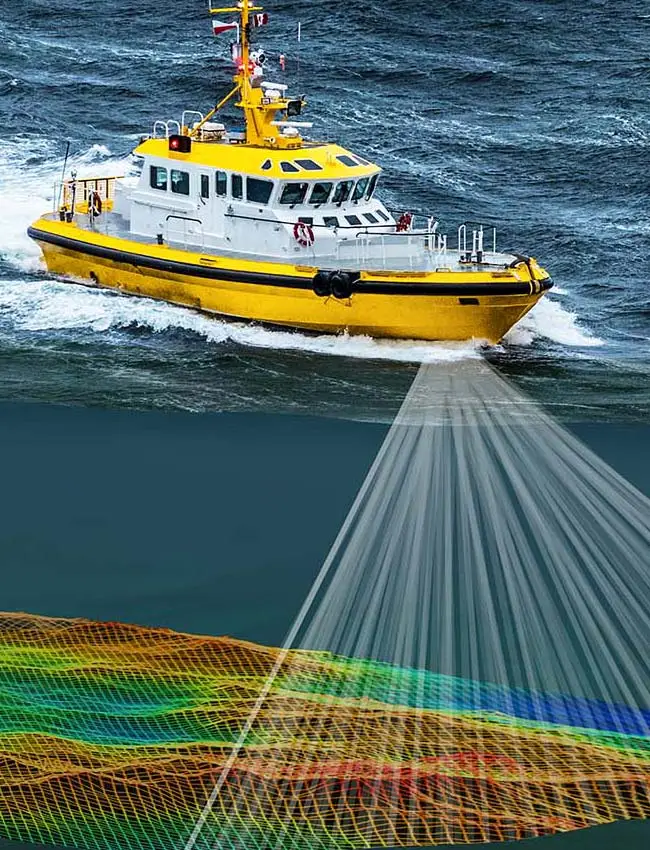
Hydrographic Survey Services
we specialize in delivering high-precision hydrographic survey services tailored to support navigation, marine infrastructure development, environmental monitoring, and offshore resource exploration. Utilizing cutting-edge survey technologies and industry best practices, we provide comprehensive data acquisition and analysis for various marine and coastal applications.
-
Bathymetric Surveys (Single-Beam & Multibeam)
We conduct high-resolution bathymetric surveys using single-beam and multibeam echo sounders, providing accurate depth measurements and detailed underwater topography. These surveys support dredging projects, navigational safety, and subsea infrastructure planning. -
Coastal and Offshore Mapping
Our team delivers precise mapping of coastal and offshore environments, generating detailed seabed models essential for marine construction, pipeline and cable routing, and environmental impact assessments. -
Tidal and Current Measurements
We deploy Acoustic Doppler Current Profilers (ADCPs) and tide gauges to measure water movement, tidal variations, and current dynamics. These insights are crucial for port operations, bridge construction, and offshore drilling activities. -
Seabed Classification and Habitat Mapping
By integrating geophysical survey techniques, we analyze seabed composition and habitat characteristics to support environmental studies, fisheries management, and marine conservation efforts.
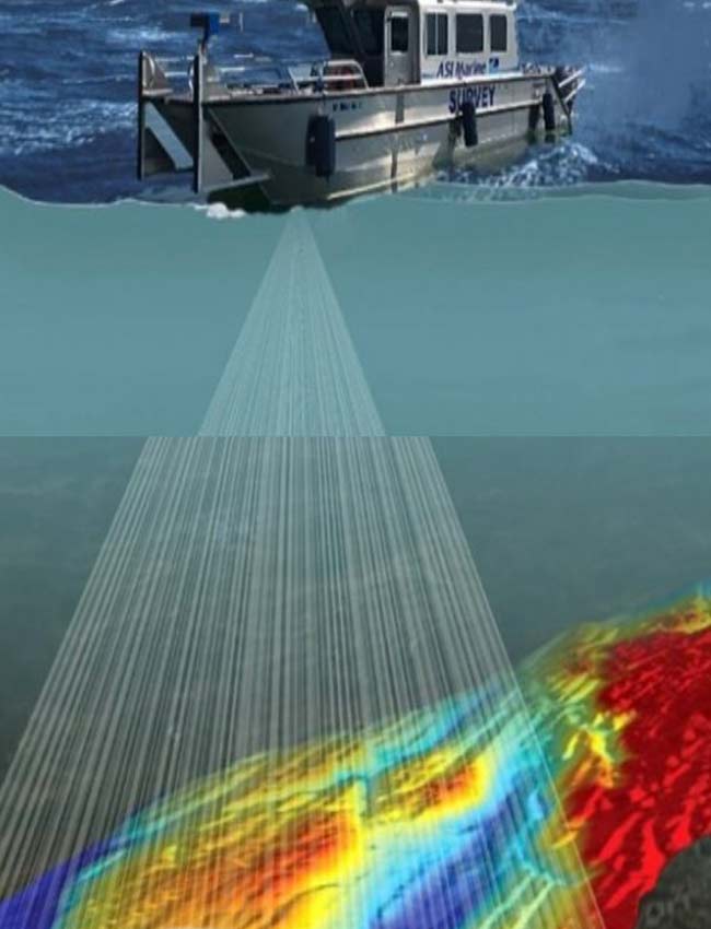
Geophysical Survey Services
We provide advanced geophysical survey services to support offshore engineering, subsea infrastructure development, and resource exploration. Our state-of-the-art survey technologies allow us to conduct detailed subsurface investigations, delivering critical insights into seabed composition, geological structures, and buried objects.
-
Sub-bottom Profiling
We utilize high-resolution sub-bottom profilers to penetrate the seabed and reveal underlying geological layers. This service is essential for foundation assessments, dredging projects, and pipeline or cable route planning. -
Side-Scan Sonar Surveys
Our side-scan sonar technology provides detailed images of the seafloor, detecting submerged objects, wrecks, and debris. This survey method supports environmental assessments, offshore infrastructure inspections, and hazard detection. -
Magnetometer Surveys
Using marine magnetometers, we detect and map ferrous objects buried beneath the seabed, such as shipwrecks, pipelines, and unexploded ordnance (UXO). This is crucial for safe offshore development and archaeological investigations. -
Pipeline and Cable Route Surveys
We conduct comprehensive surveys to assess and monitor pipeline and subsea cable routes, ensuring the integrity and stability of critical offshore infrastructure. These surveys help identify potential hazards and optimize route planning.
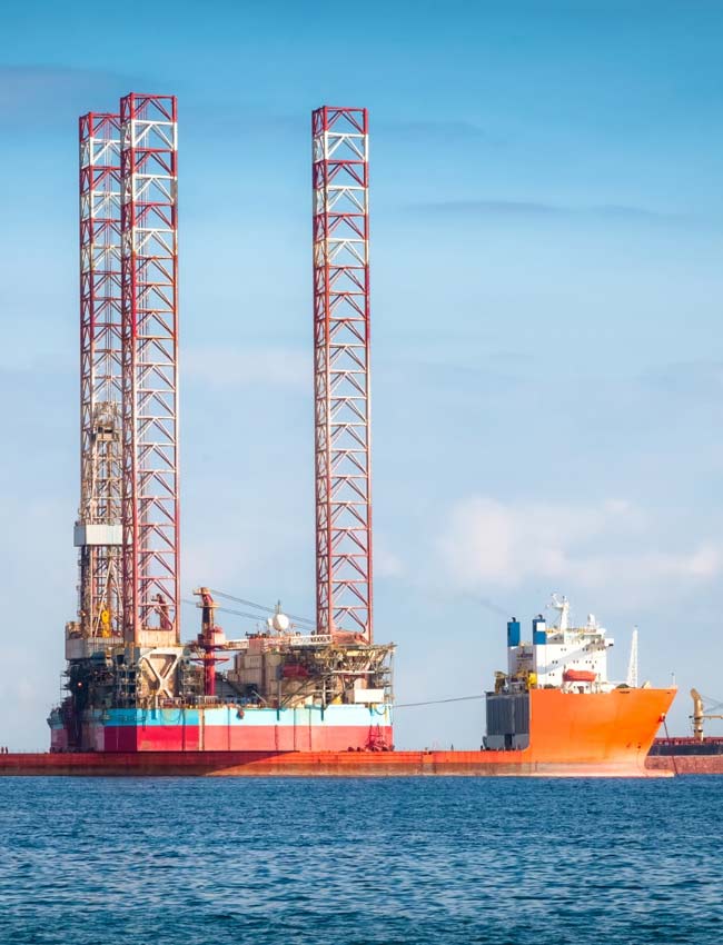
Positioning Support Services
We provide high-precision positioning support to ensure accuracy and efficiency in offshore operations, subsea installations, and marine construction. Our advanced positioning solutions enhance safety, optimize project execution, and improve the overall success of offshore activities.
-
Offshore Construction Support
We deliver precise positioning services for offshore structures, ensuring accurate placement of platforms, subsea installations, and other marine infrastructure. -
Rig Move and Barge Positioning
Our team provides expert support in the safe relocation of offshore drilling rigs and barges, utilizing DGPS (Differential GPS) and acoustic positioning technologies to achieve optimal positioning. -
Subsea Asset Inspection and Installation Support
We assist in the deployment, inspection, and maintenance of subsea assets, including pipelines, manifolds, and wellheads, ensuring exact placement and alignment. -
DGPS and Acoustic Positioning Solutions
Datum Subsea integrates high-precision DGPS and acoustic positioning systems to deliver real-time, centimeter-level accuracy for offshore navigation and survey operations. -
ROV, AUV, and Diver Positioning
We support remotely operated vehicles (ROVs), autonomous underwater vehicles (AUVs), and divers with advanced tracking and positioning systems, enabling efficient underwater inspections, repairs, and installations.
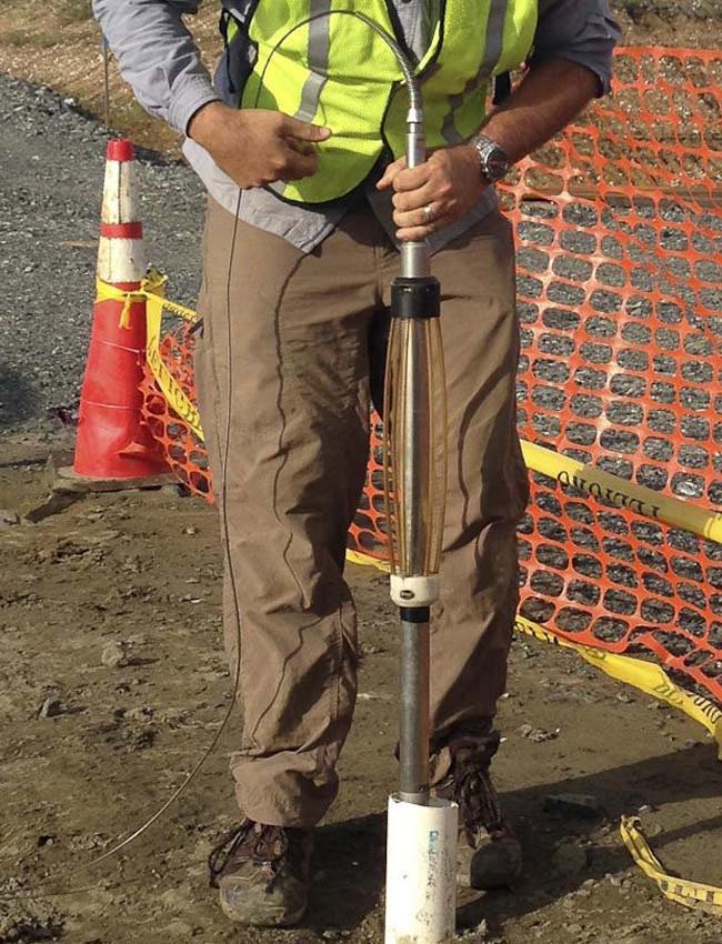
Geotechnical Survey Services
We provide comprehensive geotechnical survey solutions to support offshore investigations, foundation design, and subsea infrastructure development.
Our services are designed to assess soil composition, strength, and stability, ensuring safe and efficient offshore construction, drilling, and pipeline installations.
-
Cone Penetration Testing (CPT)
We conduct in-situ soil testing using CPT techniques to measure soil strength, stratification, and geotechnical properties, providing critical data for offshore foundation and infrastructure planning. -
Vibrocoring, Piston Coring, and Grab Sampling
Our team utilizes vibrocoring, piston coring, and grab sampling methods to collect seabed and sub-seabed sediment samples, supporting environmental assessments and geotechnical analysis. -
Seismic and Soil Testing
We deploy advanced seismic testing techniques to evaluate subsurface characteristics, detect potential geohazards, and provide insights into soil behavior under different conditions.
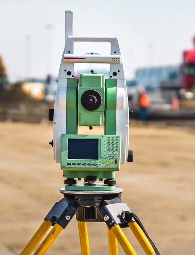
Hydrographic, Geophysical & Geotechnical Equipment Rental Services
We provide state-of-the-art hydrographic, geophysical, and geotechnical equipment for offshore survey operations, ensuring high precision and reliability in data collection. Whether you need equipment for bathymetric mapping, sub-seabed profiling, or soil testing, our rental solutions are tailored to meet the demands of offshore exploration, construction, and research projects.
Our Rental Services Include:
-
State-of-the-Art Survey Equipment – Access to high-quality hydrographic, geophysical, and geotechnical tools for independent offshore surveys.
-
Technical Support and Calibration Services – Expert assistance to ensure proper setup, operation, and calibration of rented equipment for optimal performance.
With Datum Subsea’s Equipment Rental Services, you get cutting-edge technology, professional support, and cost-effective solutions to enhance the success of your offshore projects.

Offshore Personnel Sourcing Services
Datum Subsea provides highly skilled offshore professionals to support a wide range of hydrographic, geophysical, and geotechnical survey projects. Our expert personnel bring extensive experience in offshore operations, ensuring accurate data acquisition, seamless project execution, and compliance with industry standards.
Our Personnel Sourcing Services Include:
-
Provision of Experienced Offshore Survey Professionals – Skilled experts ready to support offshore exploration, construction, and inspection projects.
-
Surveyors, Geophysicists, Data Processors, and Engineers – A diverse talent pool with expertise in hydrographic, geophysical, and geotechnical disciplines.
-
Flexible Staffing Solutions for Offshore Projects – Short-term, long-term, and project-based staffing options tailored to your operational needs.
With Datum Subsea’s Offshore Personnel Sourcing, you gain access to a reliable workforce, industry-leading expertise, and flexible staffing solutions that drive the success of your offshore operations.
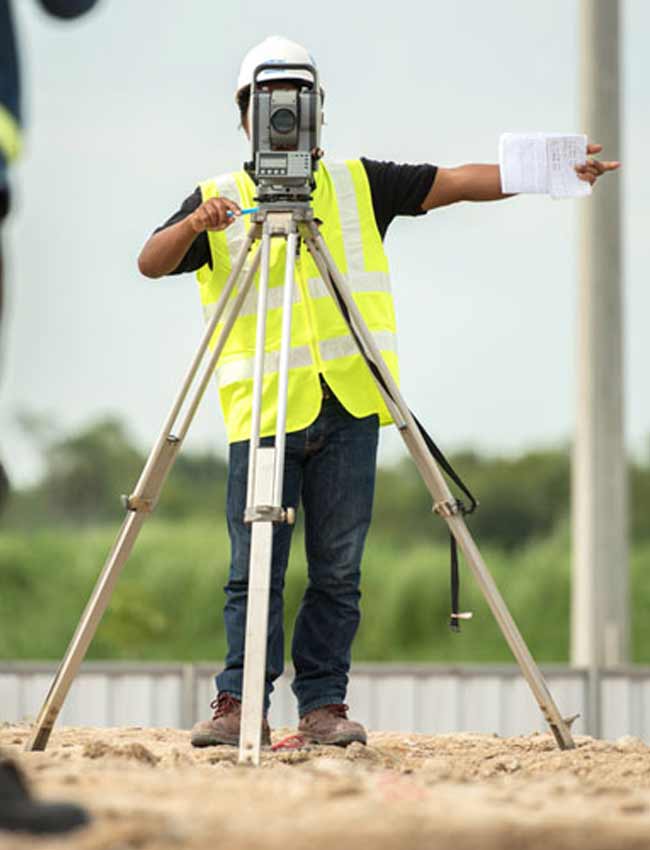
Land Survey Services
Datum Subsea delivers precise and reliable land survey services to support construction, real estate, and infrastructure development. Our team utilizes advanced surveying technology to provide accurate boundary mapping, topographical analysis, and control surveys, ensuring compliance with regulatory standards and enabling informed decision-making.
Our Land Survey Services Include:
-
Cadastral/Boundary Survey – Defining legal property boundaries for ownership and land use.
-
Topographic Survey – Mapping terrain features for engineering and design projects.
-
Control Survey – Establishing precise reference points for large-scale developments.
-
As-Built Survey – Verifying structures and infrastructure against design specifications.
With Datum Subsea’s Land Survey expertise, clients receive high-quality, legally compliant survey data to drive successful project execution.
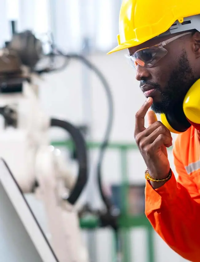
Consulting Services
Datum Subsea offers specialized consulting services to support offshore and subsea survey projects, ensuring efficient planning, execution, and data interpretation. Our team of experts provides technical advisory and project management solutions, helping clients navigate complex survey operations with precision and confidence.
Our Consulting Services Include:
-
Project Management for Offshore Survey Campaigns – Comprehensive planning and oversight for successful survey execution.
-
Data Processing, Interpretation, and Reporting – Expert analysis and accurate reporting to support informed decision-making.
-
Technical Advisory on Survey Equipment and Operations – Guidance on selecting and deploying the right tools and methodologies for optimal results.
With Datum Subsea’s consulting expertise, clients gain strategic insights and tailored solutions to enhance the efficiency and accuracy of their offshore survey projects.
